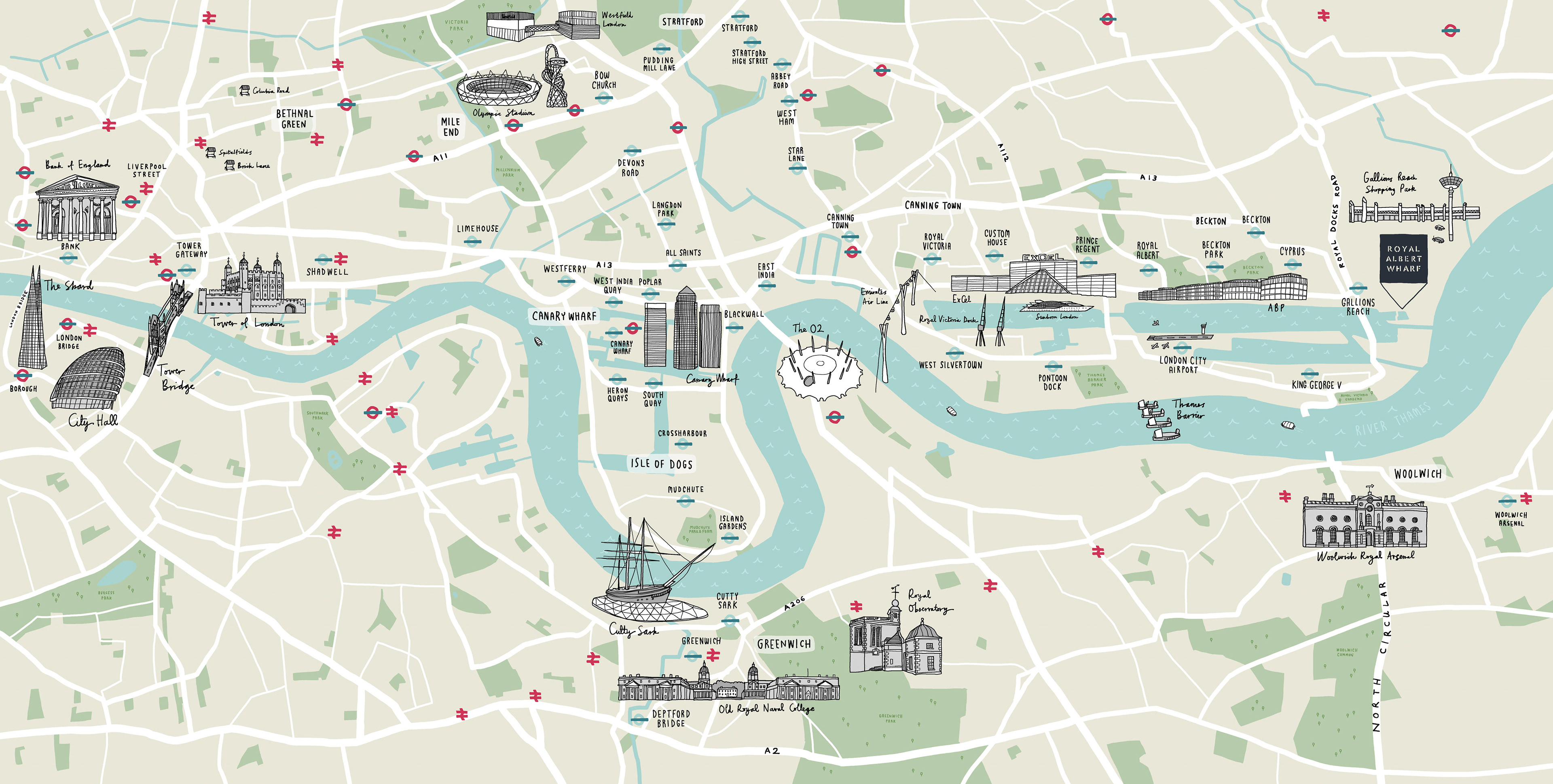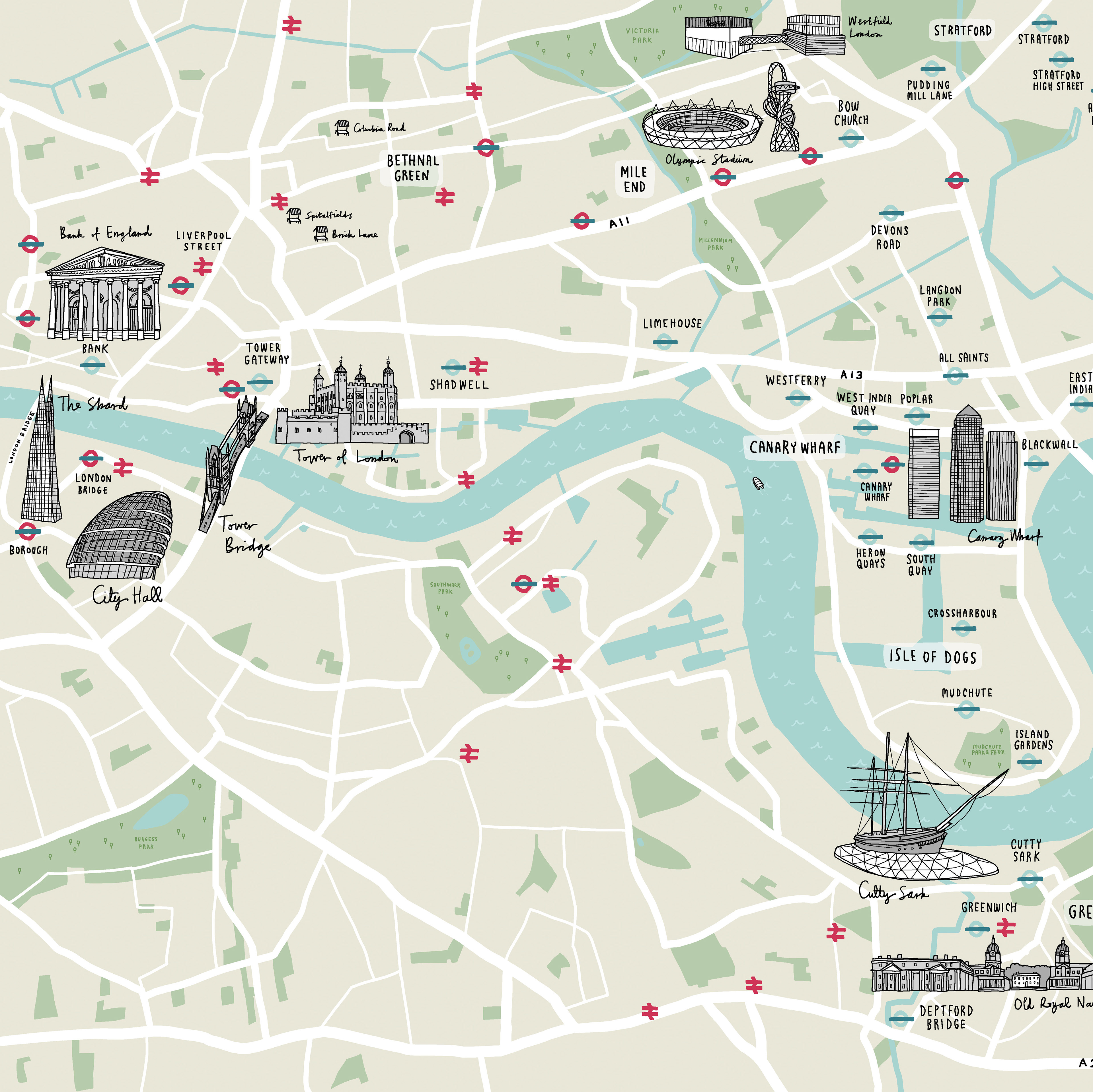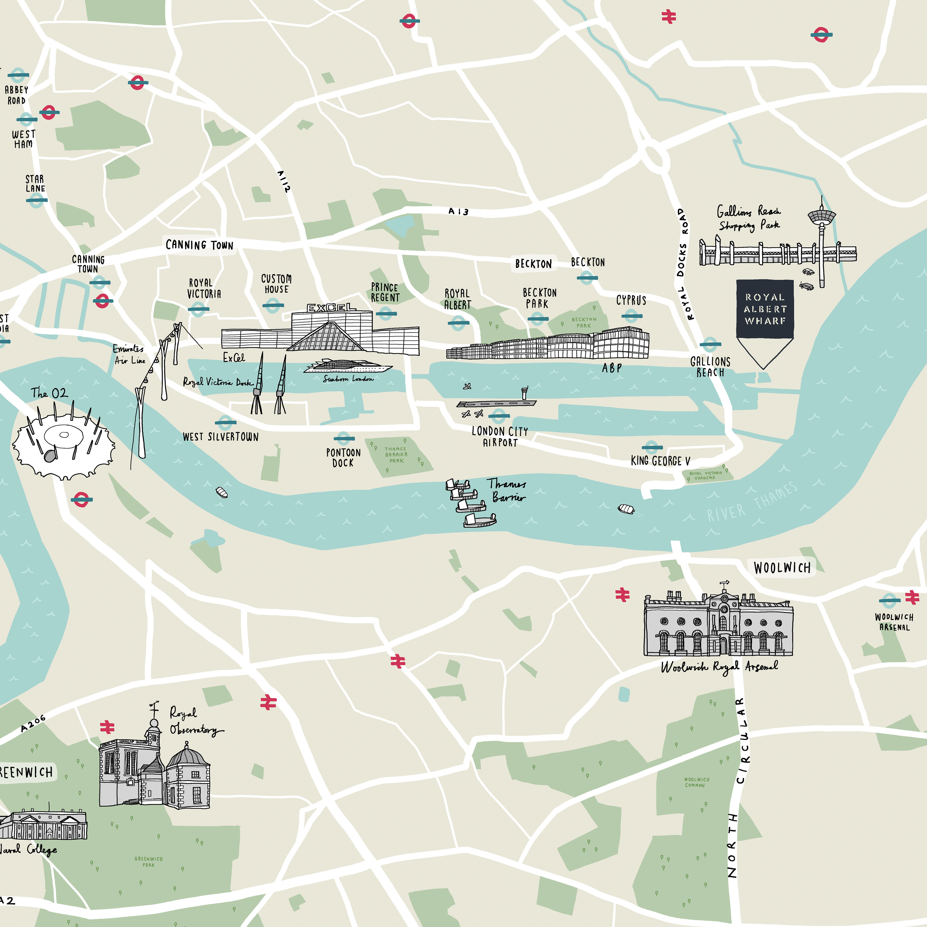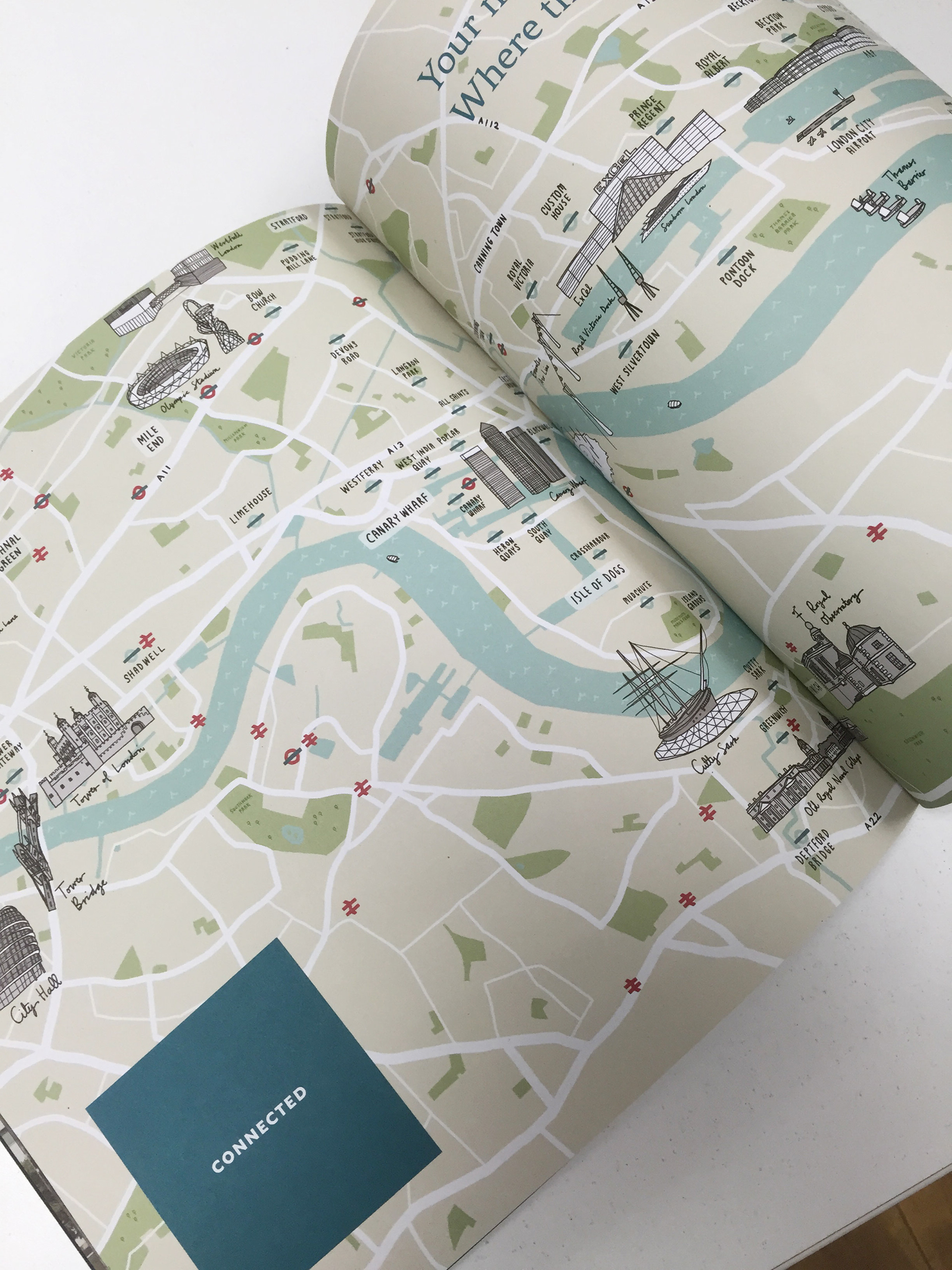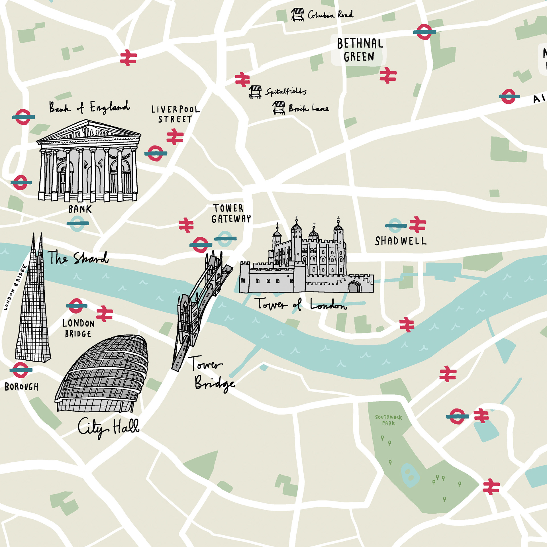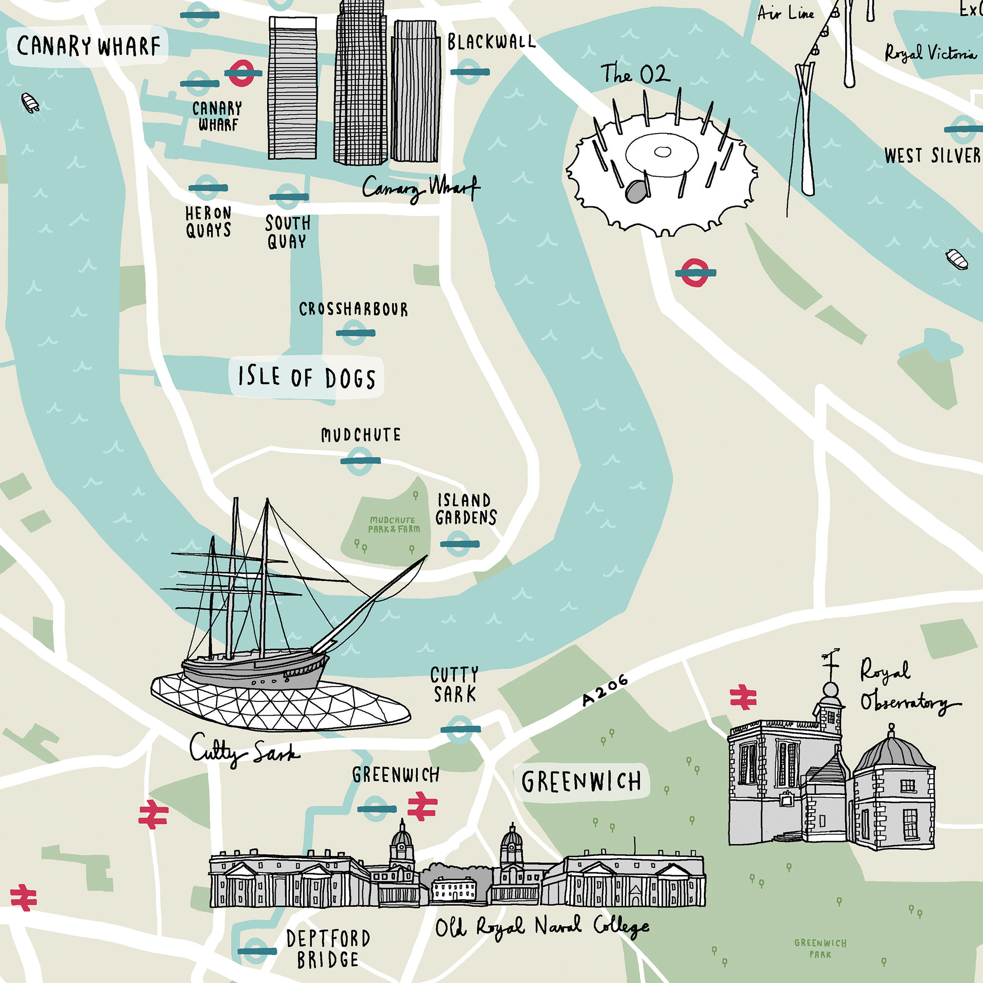
An illustrated map for the Royal Albert Wharf housing development in the Royal Docks, London. The map is designed to show the proximity and main transport connections to central London, as well as some of the landmarks, parks and other attractions in the area.
Art direction by Ferrier Pearce.