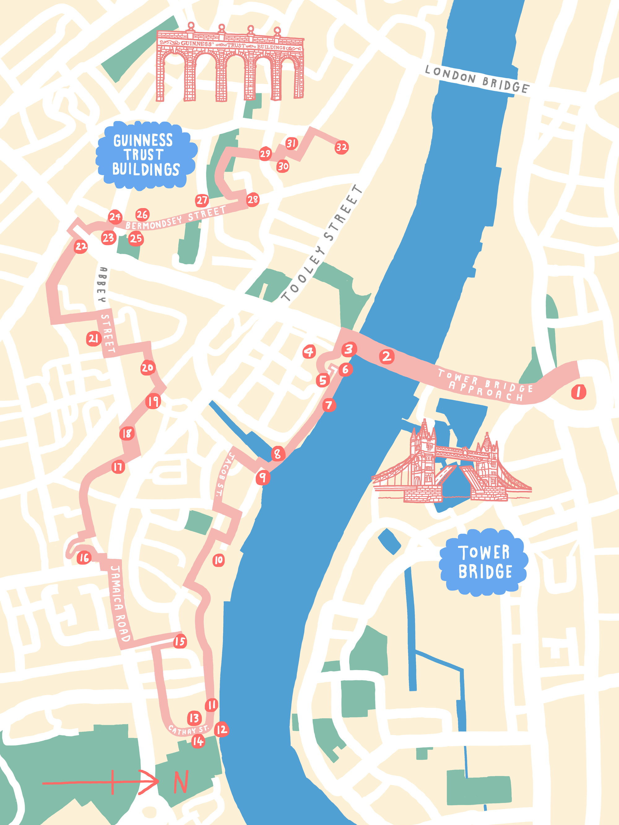
Look Up London Book
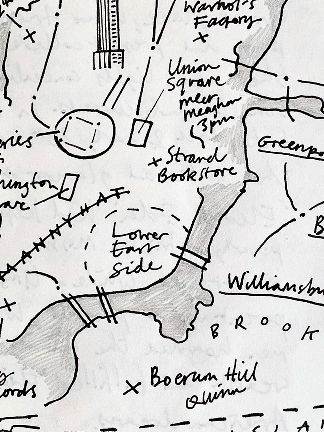
The Unauthorised Biography Of Ezra Maas
A set of hand-drawn illustrated maps for for a new special edition of The Unauthorised Biography Of Ezra Maas by Daniel James. The weathered map illustrations show the author and narrator's travels through New York, London and Newcastle.
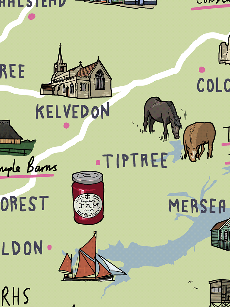
Country Living "Moving To..."
Country Living magazine is a lifestyle magazine focusing on country-inspired interiors, gardening, recipes, crafts and pets. I illustrate a regular "Let's Move To..." column that sets out the benefit of moving to a different part of the UK.
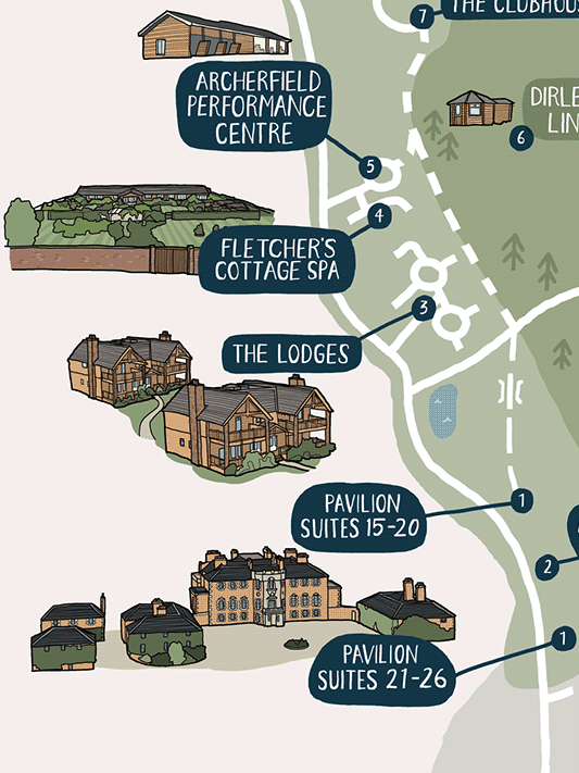
Archerfield House Hotel Map
Archerfield House is a luxury hotel, golf course and spa on the East Lothian coast. This illustrated map shows off the range of facilities and helps orientate visitors to their accommodation and leisure activities whilst adding a touch of illustration to their website.
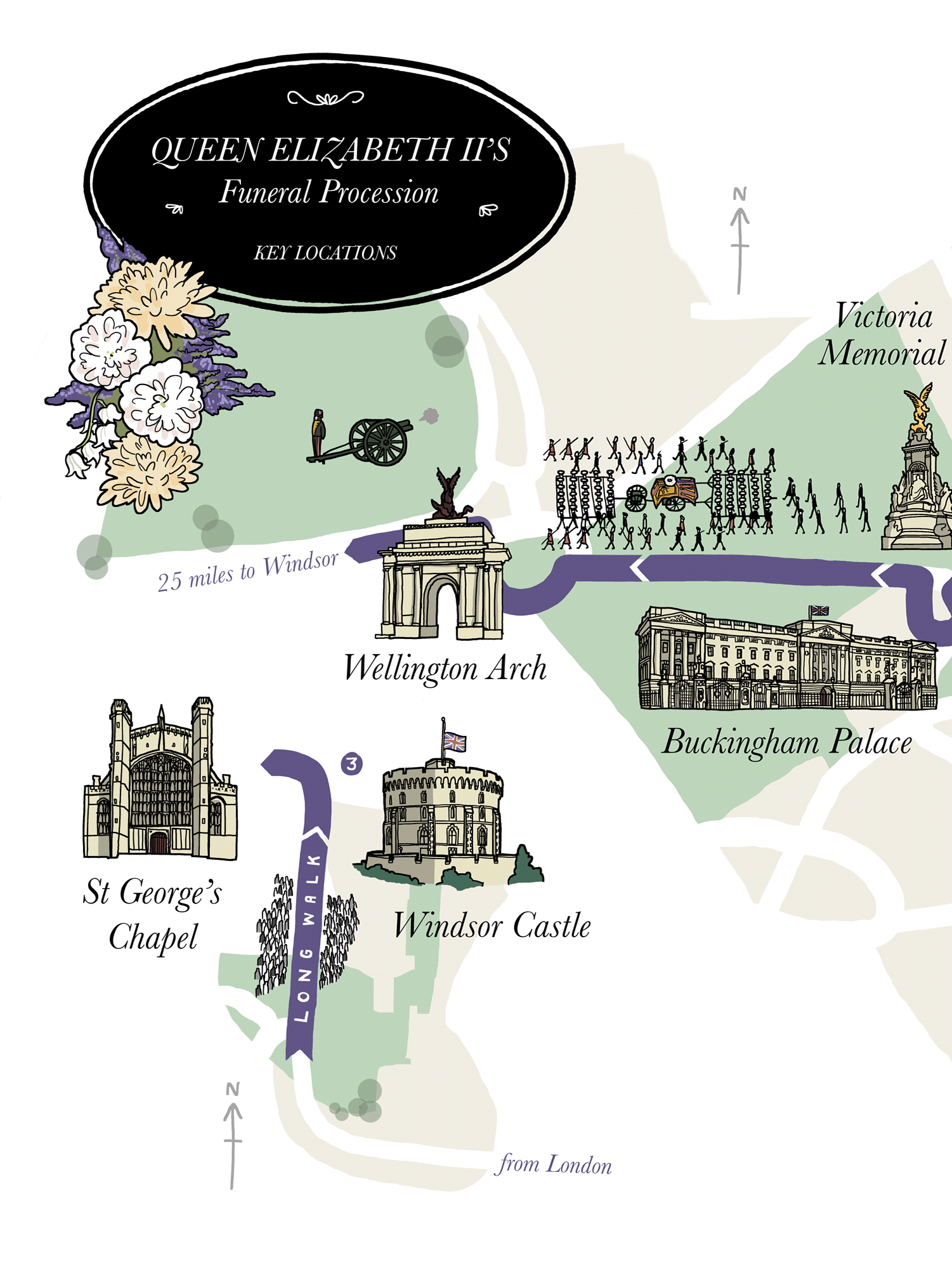
Hello! Magazine Queen's Funeral Map
Following the map I'd been commissioned to create for Prince Philip's funeral, Hello! magazine asked me to illustrate a map for Her Royal Highness Queen Elizabeth II's funeral route through London and Windsor.
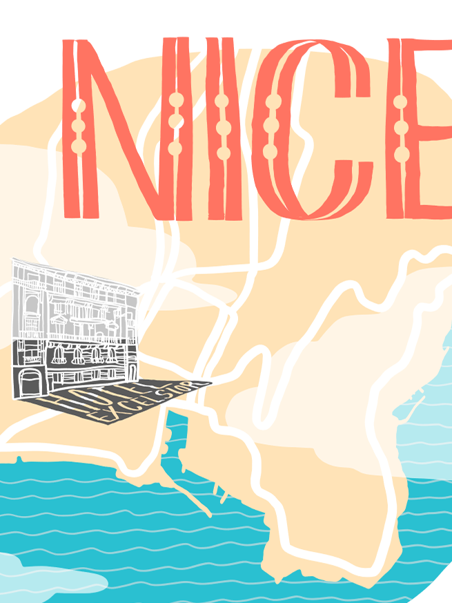
Book Maps
My new year’s resolution for 2017 was to read a hundred books that year, and in doing so it occurred to me that I’d virtually travelled to a lot of places whilst reading them. I thought it would be an interesting idea since then to sketch some of these fictional and non-fictional places as a way to try out new ideas for illustrated maps.
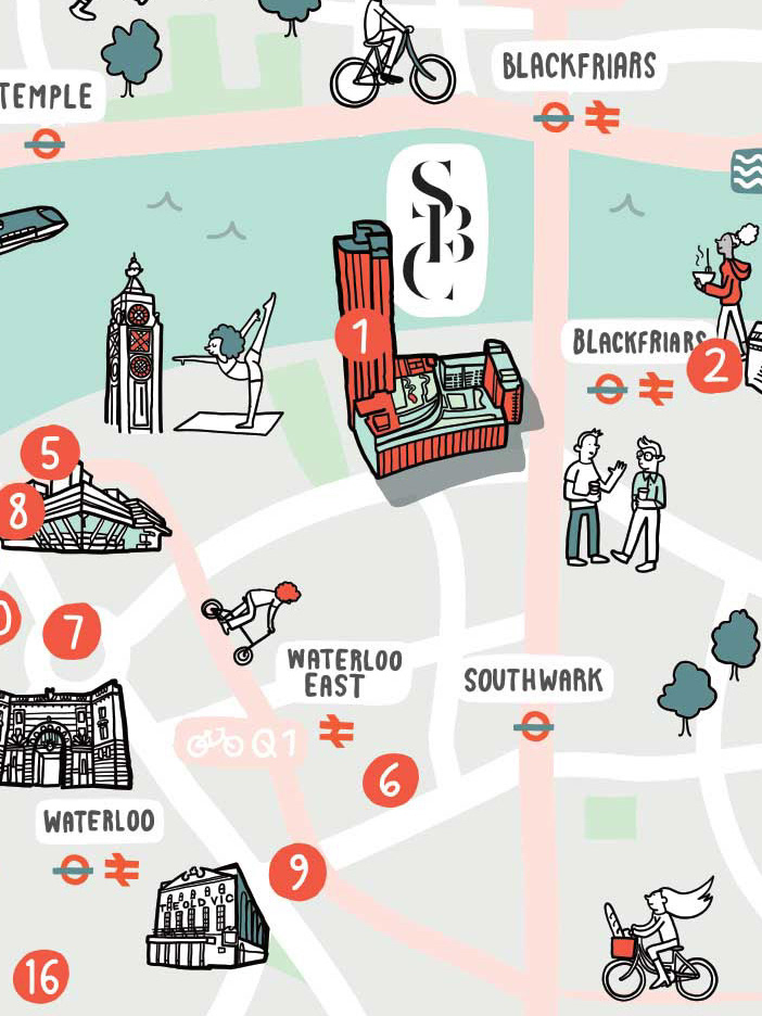
South Bank Central Workspace
South Bank Central is an workspace for office and retail on the South Bank, London, including a communal roof garden. My illustrated map highlights some of the local amenities - theatres, galleries, museums, restaurants, cafes and bars in the area.
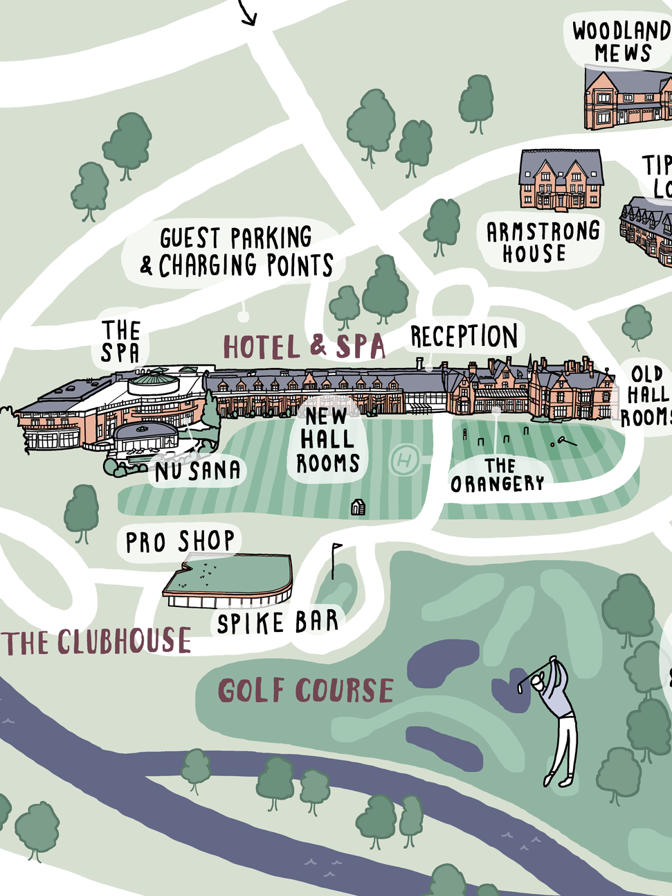
Rockliffe Hall Hotel Map
Rockliffe Hall is a 5* luxury hotel and spa that wanted an illustrator to produce a map of the resort to add a colourful illustrated touch to their new rebrand.
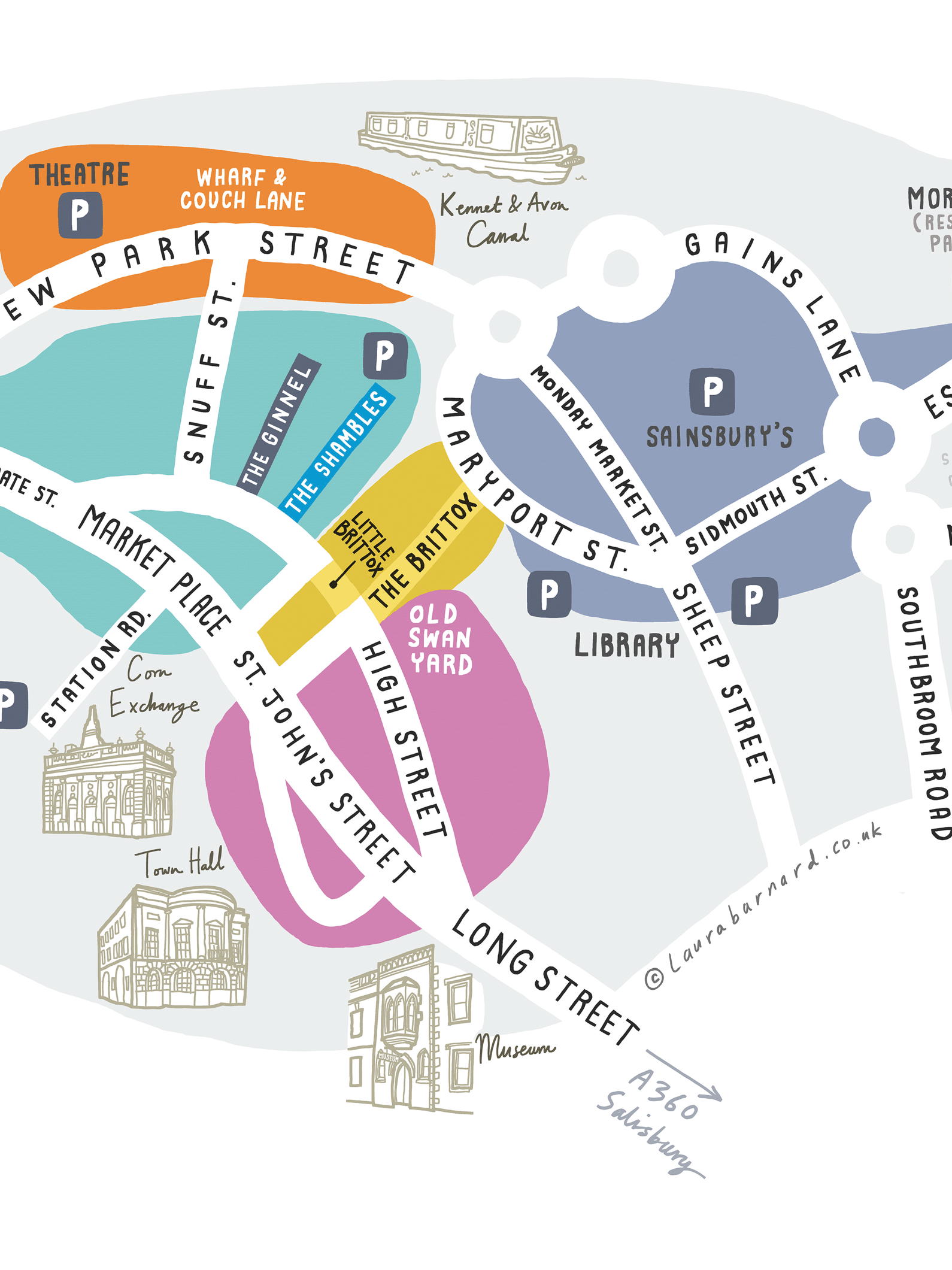
Devizes Indie Shops
An illustrated map of my new home town of Devizes for InDevizes, the directory of Independent shops, eateries & drinkeries, artists & artisans.
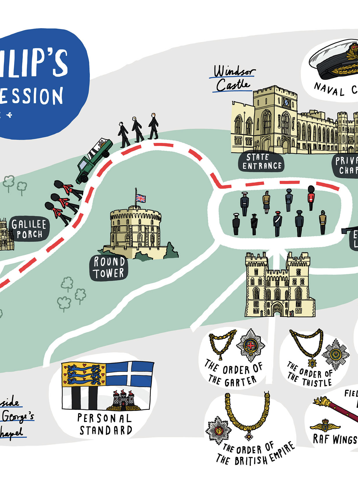
Hello! Magazine Prince Philip Funeral Map
A double page spread map for Hello! magazine to show the route of Prince Philip’s funeral procession from Windsor Chapel to St George’s Chapel.
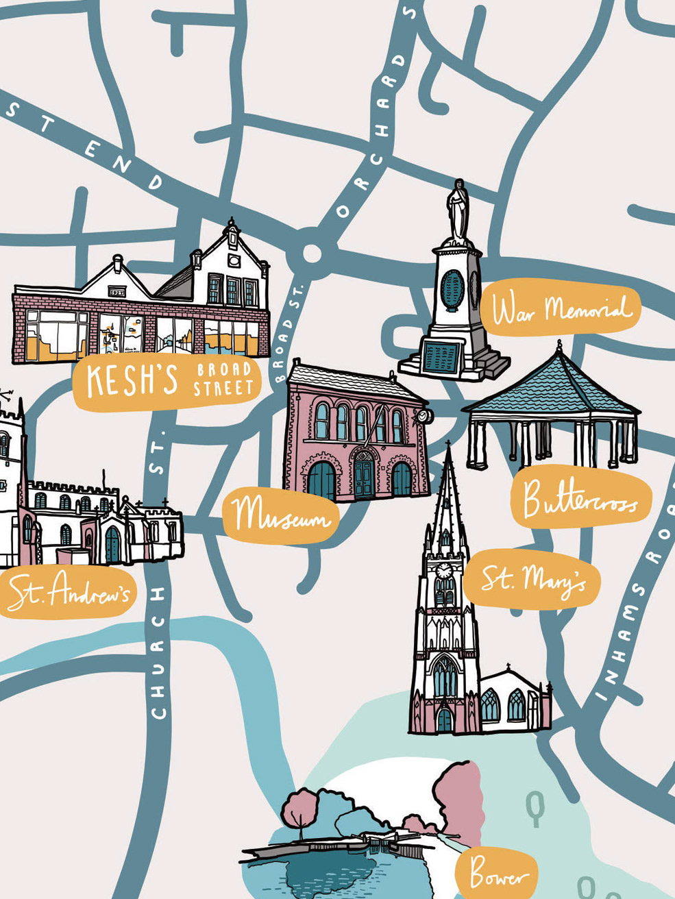
Nisa Local Window Display, Whittlesey
An illustrated map and street scene for an independent supermarket in Whittlesey. The design was to fill a large new window that needed to be obscured with a colourful vinyl vector mural.
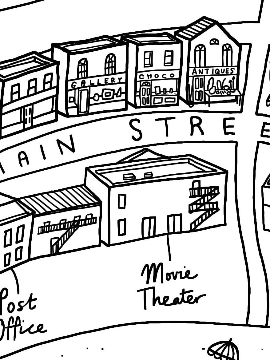
I Killed Zoe Spanos
An illustrated map to show the layout of the fictional village of Herron Mills in the Young Adult thriller I Killed Zoe Spanos by Kit Frick, published by Simon & Schuster. The village is set in the Hamptons, New York.
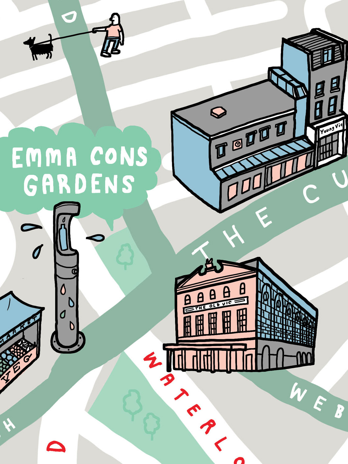
We Are Waterloo Map
A fold-out map of the Waterloo and Southwark area for We Are Waterloo, featuring some of the assets nearby, particularly highlighting parks in the area from the well-known to small ‘pocket parks’ on streets.
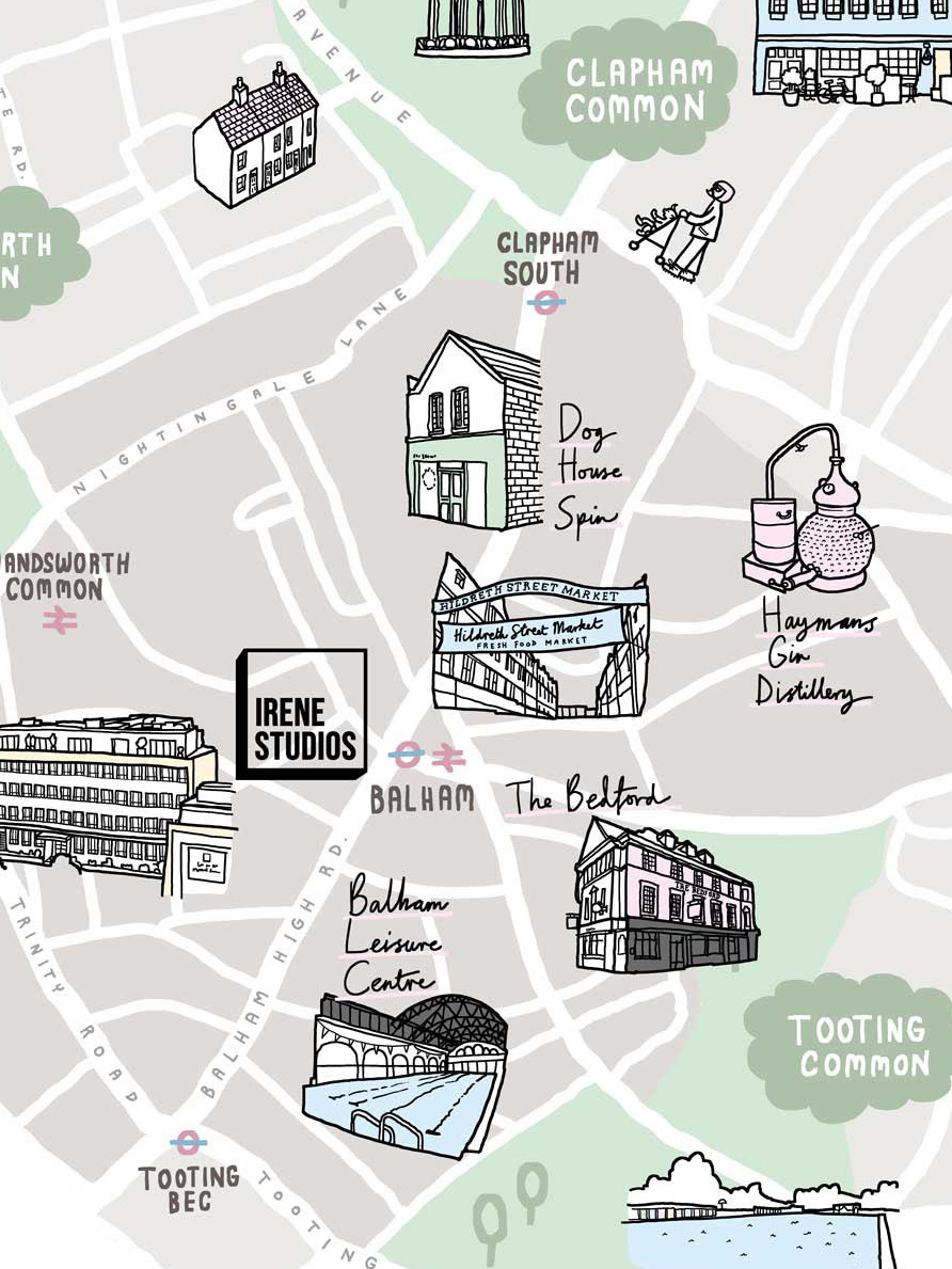
Irene Studios Housing Development
Irene Studios is a new development of design-led apartments in the heart of Balham, London. Irene House is an ex-office building that was redeveloped into private studio and 1-2 bed apartments. The map and communications were designed to show the local amenities, green spaces and transport links in the area.
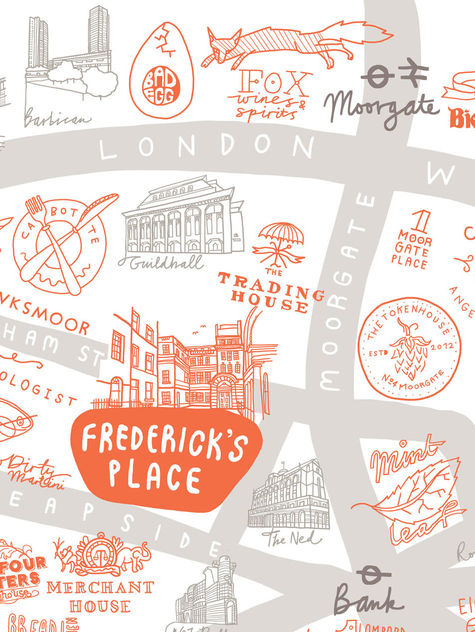
Frederick's Place
Frederick's Place and Old Jewry is an 18th century Georgian cul-de-sac in the City Of London that was redeveloped for office and restaurant space. The illustrated map uses the logos of the surrounding restaurants and businesses to show what's on offer in the area, along with a basic map of the local streets.
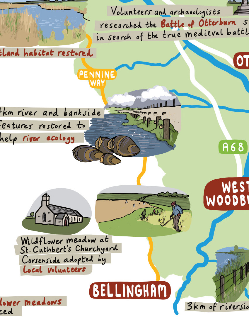
Revitalising Redesdale
Revitalising Redesdale was a £2.8m Landscape Partnership Scheme, funded by The National Lottery Heritage Fund that ran from Jan 2018 to Dec 2022. Its aim was to celebrate, conserve and enhance Redesdale’s rich cultural heritage, landscape and wildlife.
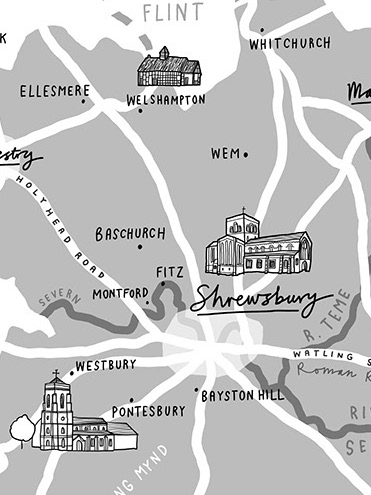
Shropshire
A selection of illustrated maps of Shropshire for a family history book by John Speake. The maps offered a unique challenge in that they were to be published in greyscale, so needed a variety of tone and detail without using colour.

Dentalcorp Canada Map
An illustrated vector map of Canada for Dentalcorp to decorate their dental practices. The map shows a selection of Canadian landmarks, animals and folklore.
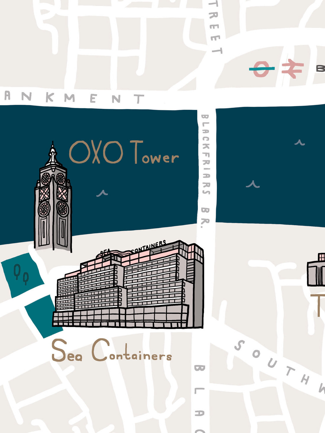
Boulevard Southwark London Map
A map to showcase the new Boulevard housing development in Southwark, London. The map uses colour and art-deco inspired hand-drawn typography to complement the luxury styling of the apartments and branding while still looking like an illustrated map.
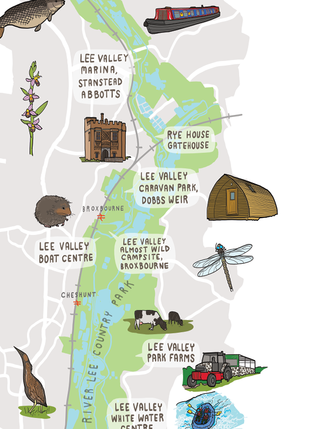
Lee Valley Country Park
A modular vector map for Lee Valley Country Park in East London. The site is very tall and thin and the map needed to fit to a variety of formats. The site naturally splits into three pieces where the roads cross, so I designed it to split into three separate maps which could be used flexibly, separately or together.
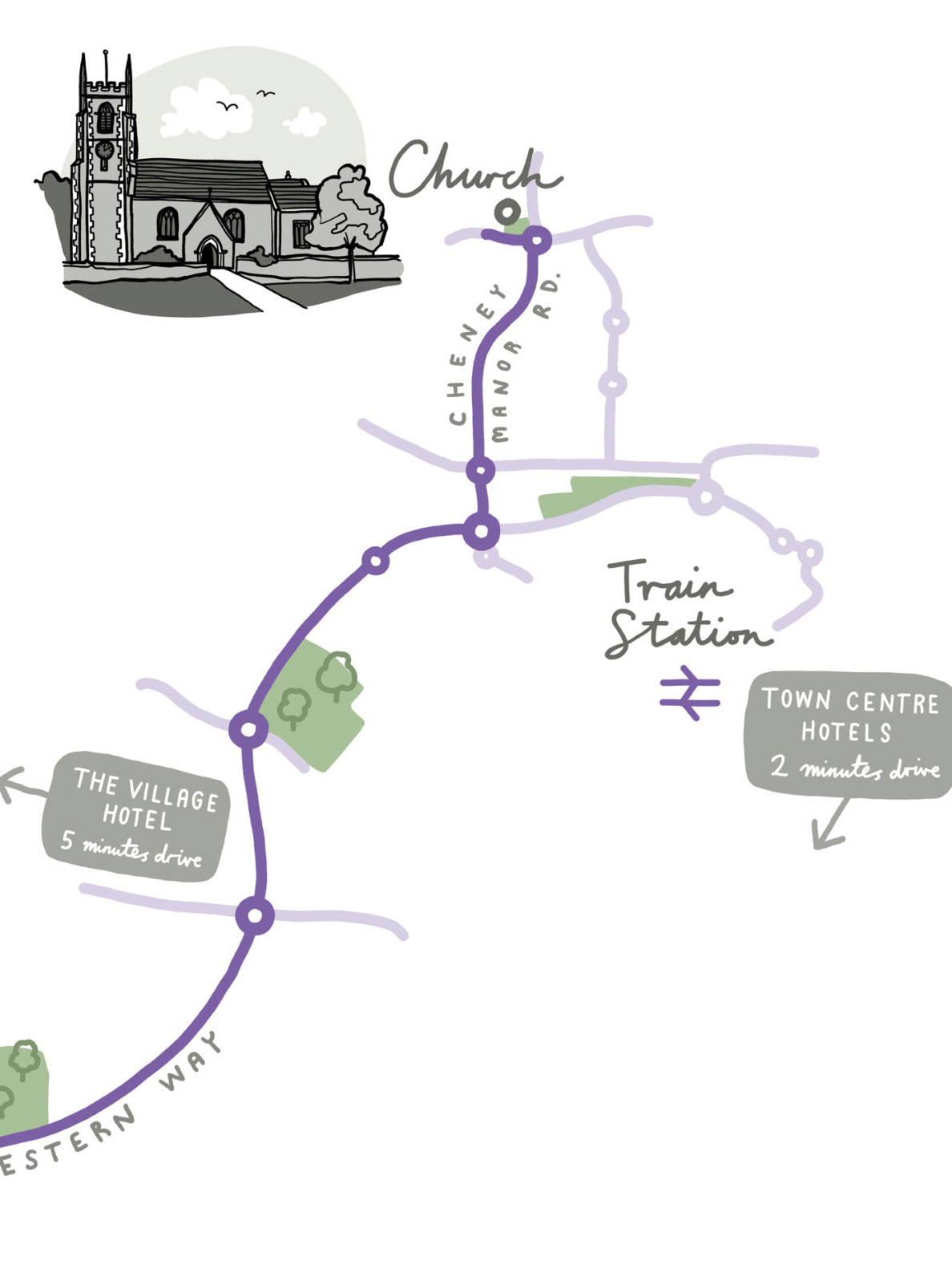
Wedding Map Swindon
An simple linear illustrated map to direct wedding guests between the church and the reception. The map also illustrates how the venues are laid out across the city geographically and show a few hotel suggestions for guests.
Classic Road Trip Album Map
A simple map of the United Kingdom to show a list of English destinations that music fans might choose to visit as part of a classic rock pilgrimage. The map was commissioned for Classic Rock magazine to promote the recently released Classic Road Trip album.
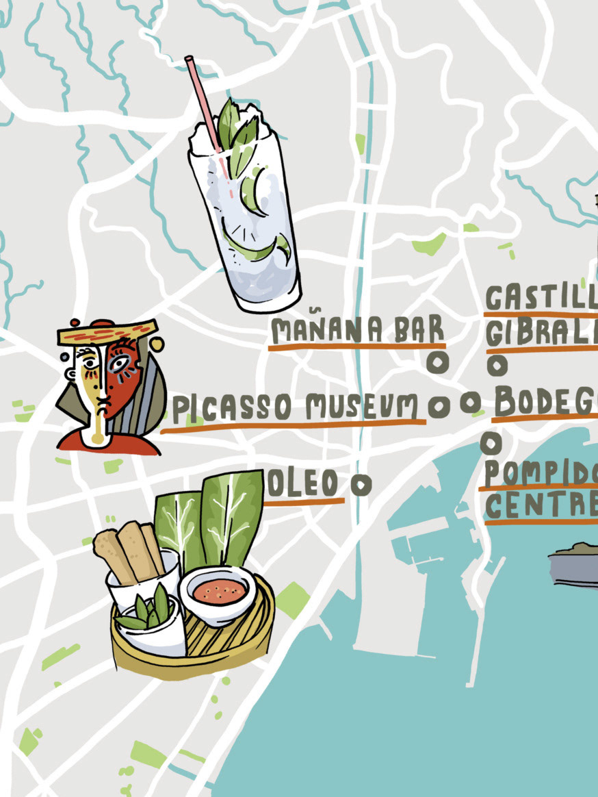
British Airways Spain Maps
Three interactive illustrated maps of Malaga, Ibiza and Palma, Spain for The Independent and the London Evening Standard as part of an advertisement feature for British Airways London City airport.
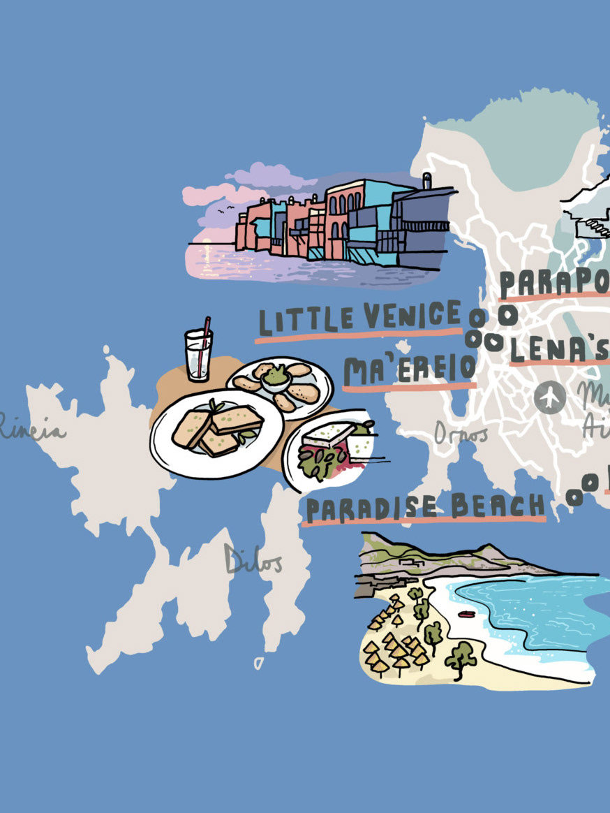
British Airways Greece Maps
Three interactive illustrated maps of Skiathos, Santorini and Mykynos, Greece for The Independent and the London Evening Standard as part of an advertisement feature for British Airways London City airport.
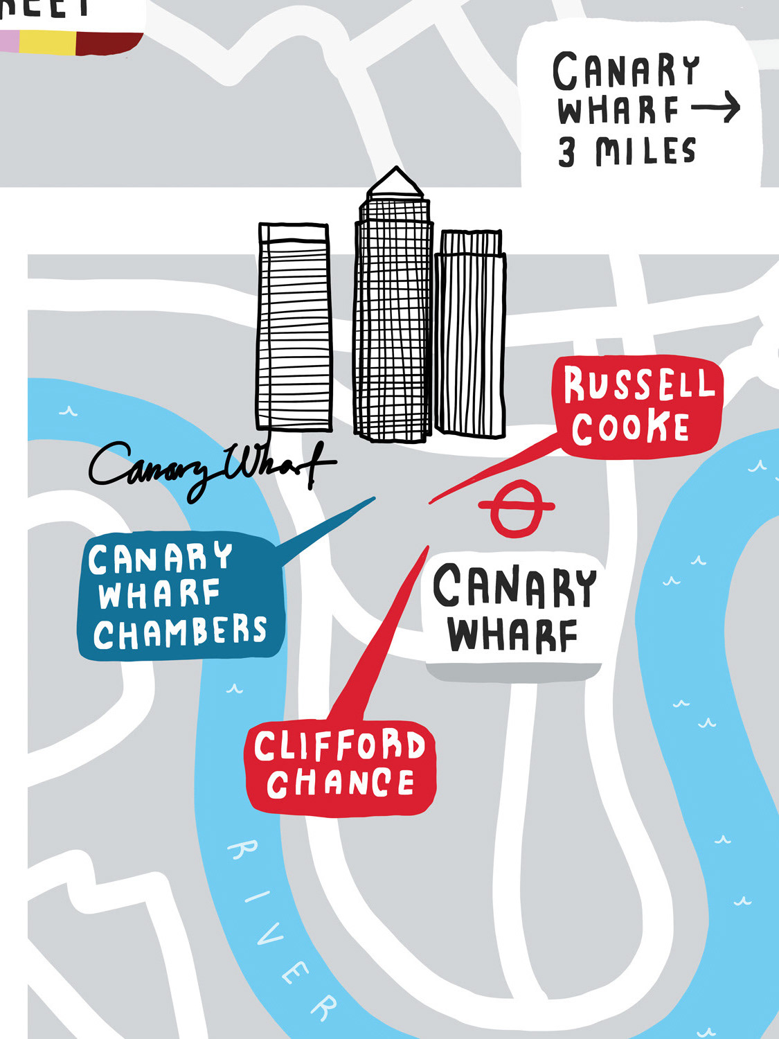
The City Law School
An illustrated map of central London for City University students at The City Law School. The map shows the locations of the three university campuses, a selection of iconic London landmarks and the proximity of many top law firms, law chambers and inns of court to the university.

Populous Magazine New York
An illustrated map of New York for Populous, the architecture firm designing some of the most well-known sporting stadiums worldwide. This illustration is the second in a series of showcasing cities and their sporting venues, with an accompanying illustrated map. Issue 17 features various important sporting landmarks of New York and the surrounding area.
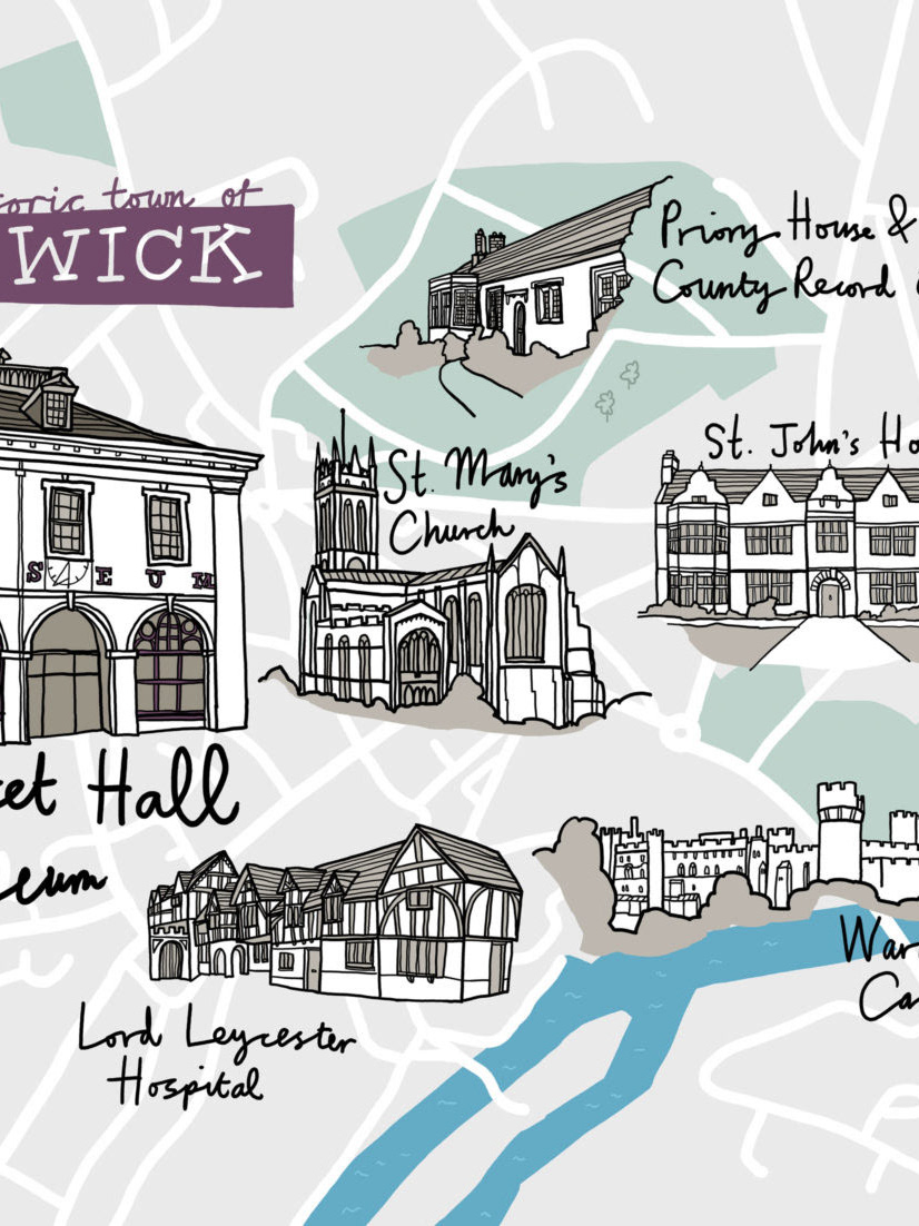
Warwick Museum Merchandise
A decorative map of Warwick for the newly refurbished Market Hall Museum as a range of souvenirs. The map is an attractive backdrop to show off drawings of famous Warwick landmarks, such as Priory House, St. John’s House, St. Mary’s Church, Lord Leycester Hospital and Warwick Castle.
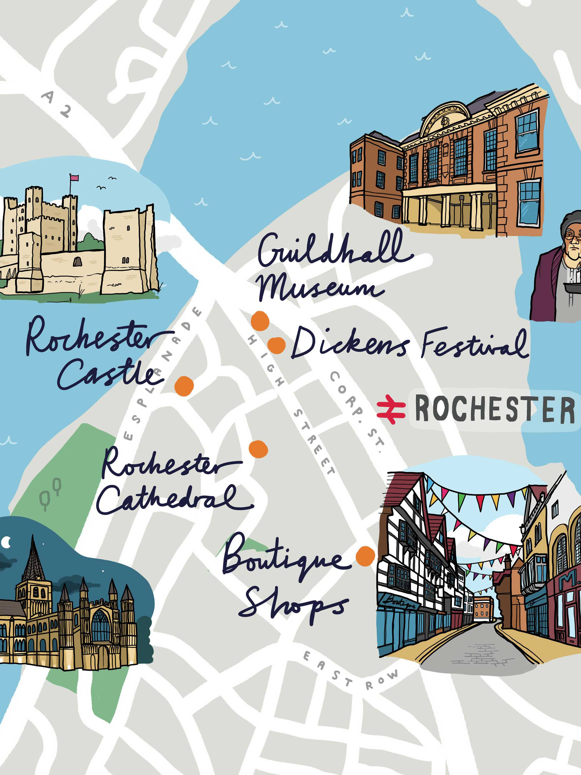
Southeastern Trains Kent Maps
A set of four colourful maps to to illustrate a selection of the destinations in Kent served by Southeastern Trains – Canterbury Rochester, Hastings and Royal Tunbridge Wells.

Boston University Campus Map
An illustrated map of Boston University to help new students find their way around the campus, and for publication in their prospectus. The commission also included a small map of Boston, Massachusetts itself to show the students a few landmarks and to locate the university within the city itself.
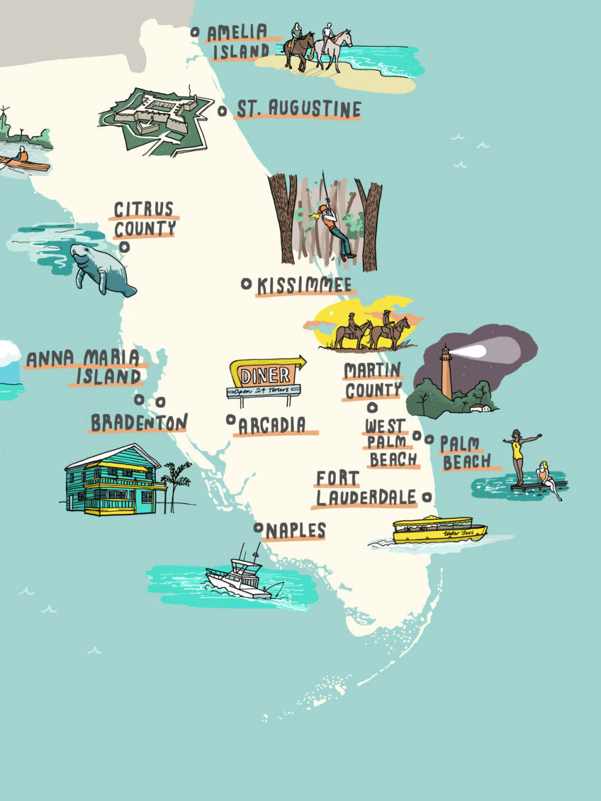
The Independent / Interactive Florida Map
An interactive illustrated map of Florida for The Independent and the London Evening Standard as part of an advertisement feature for Visit Florida.
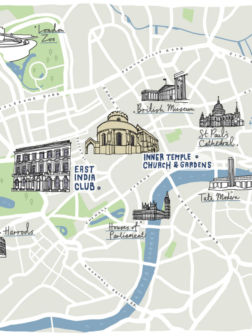
London Wedding Map
A wedding invitation map of London for a wedding held at Inner Temple Church and Gardens, Serpentine Gallery in Hyde Park and East India Club.
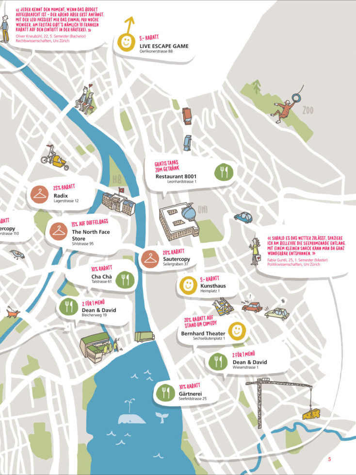
UBS Campus Maps
A set of fun illustrated maps full of quirky little details for UBS’ Campus newspapers aimed at new students in Switzerland. The maps show a selection of leisure and entertainment destinations throughout ten Swiss cities (Zürich, Bern, Luzern, Basel, St. Gallen, Winterthur, Lugano, Fribourg, Geneva, and Lausanne) along with some landmarks from each city.
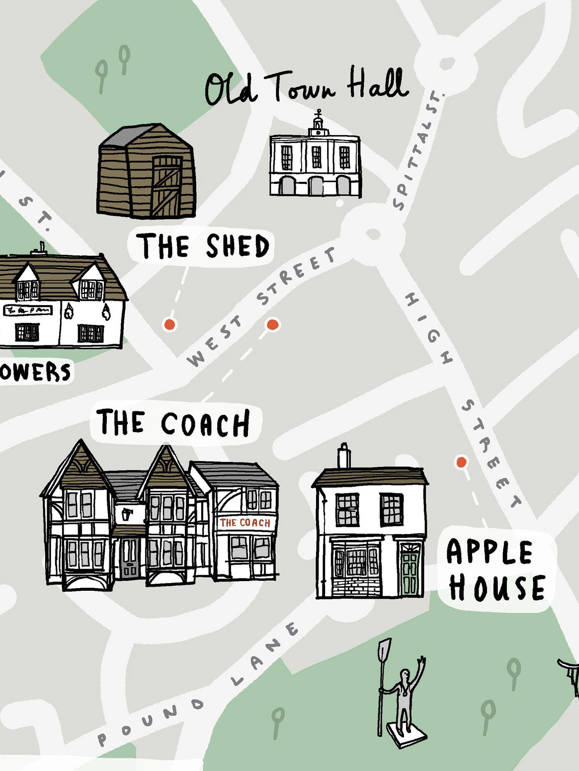
Hand & Flowers Map
An illustrated map commissioned by Tom Kerridge for overnight guests to the two Michelin-starred Hand & Flowers pub.
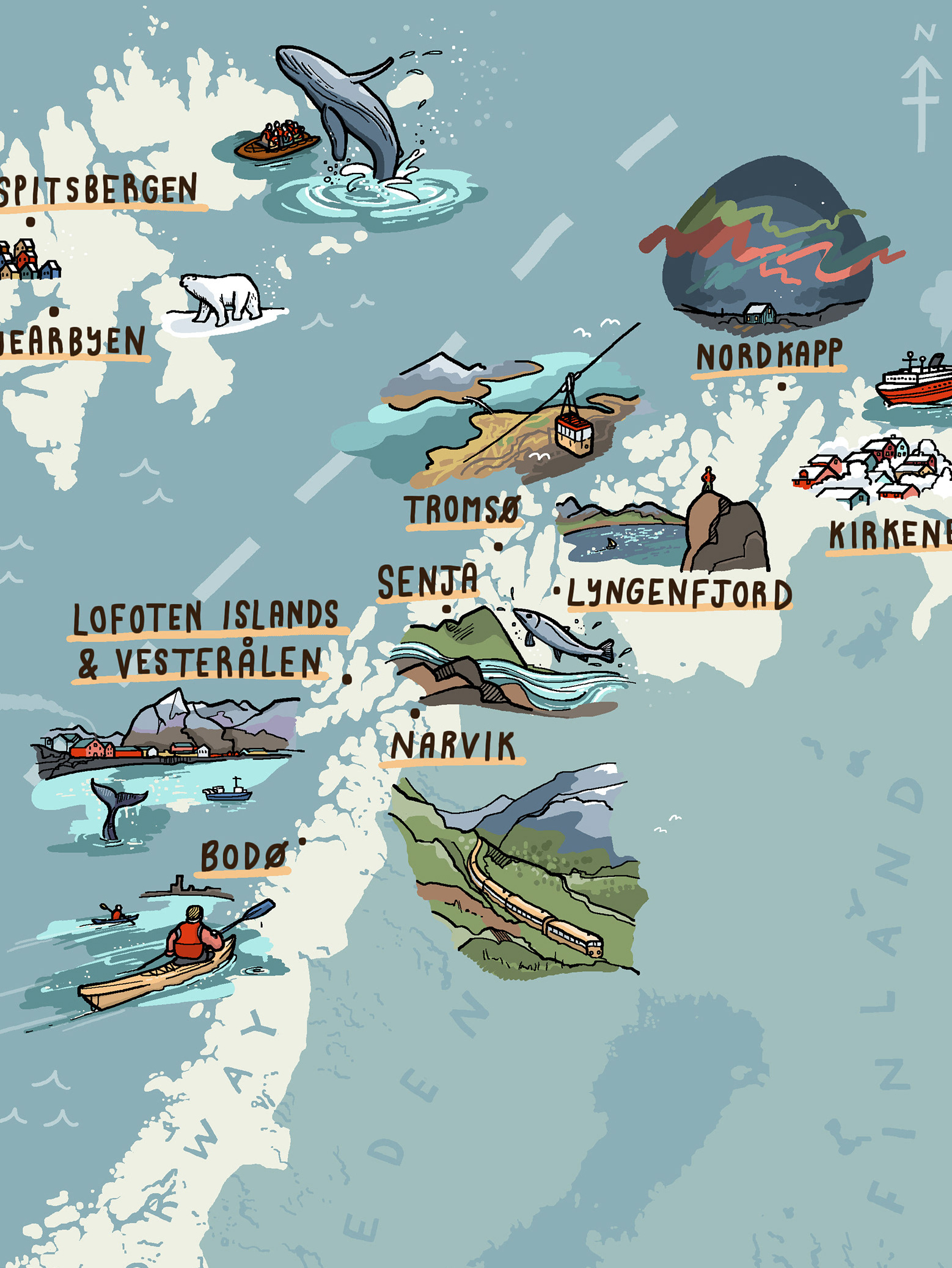
The Independent / Northern Norway Map
An interactive map of northern Norway for The Independent and Visit Norway, featuring tiny Northern Lights, whales and polar bears.
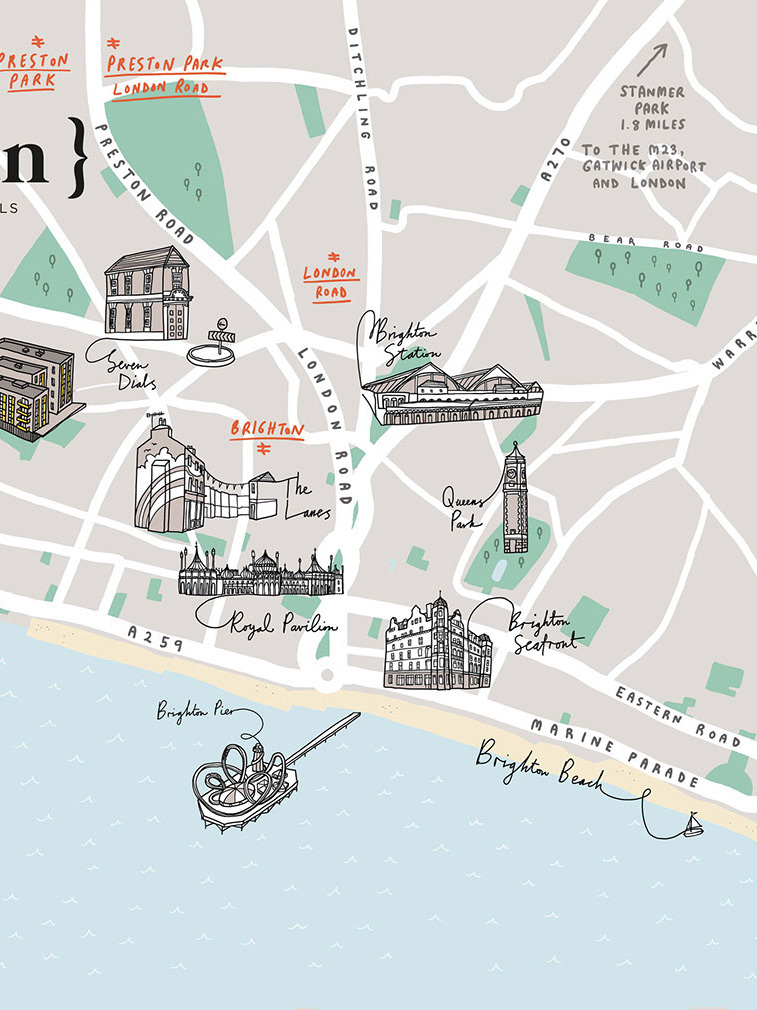
Hove Artisan Apartments Map
A selection of illustrations to promote the Artisan Crest Nicholson housing development in Hove, near Brighton, including a colourful map and aerial view.

Nexxus/Unilever Maps
Maps of London and Manchester for Nexxus/Unilever
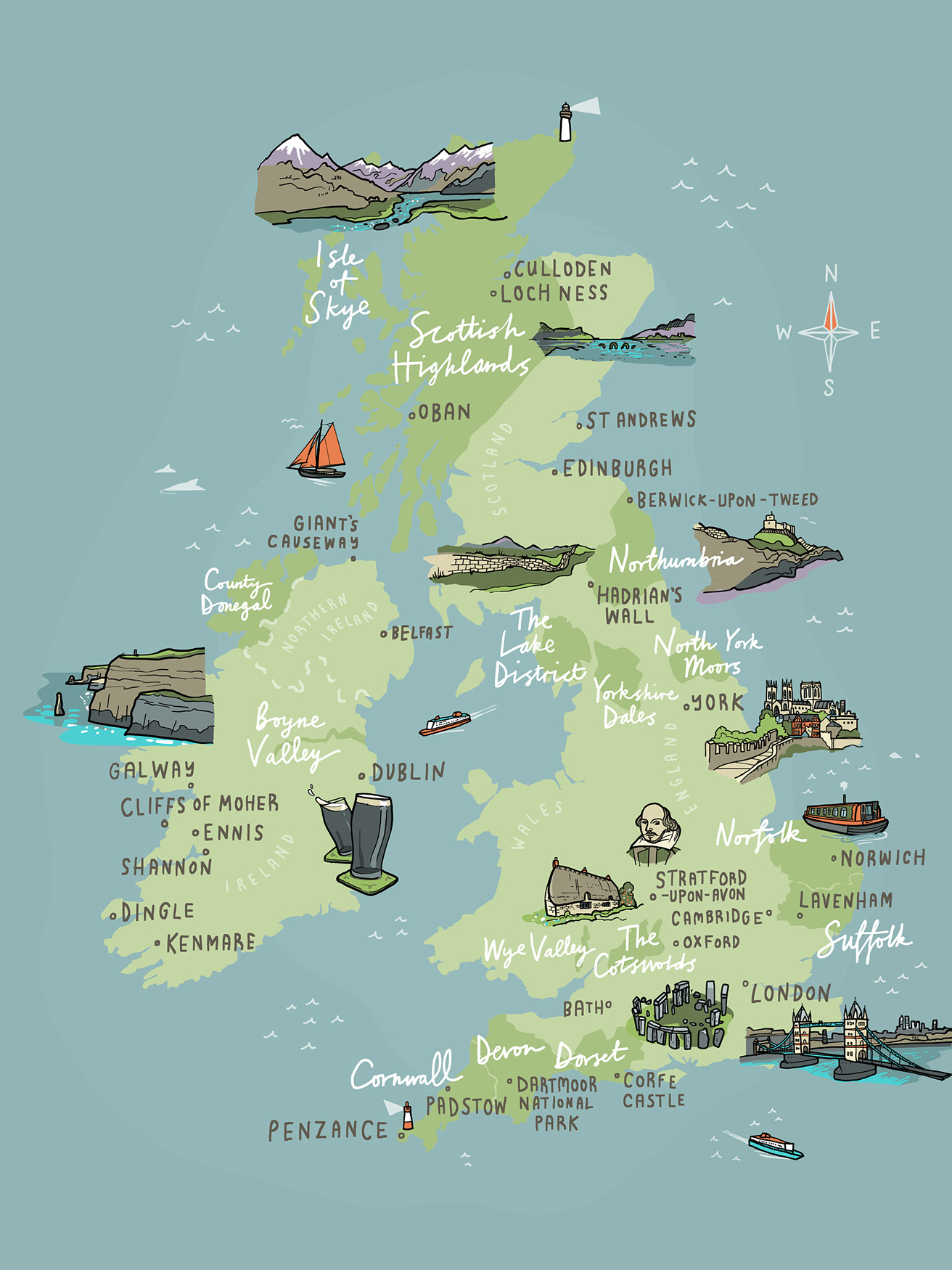
Wanderlust UK & Ireland Map
A colourful illustrated web-based map of the UK and Ireland with lots of little details.
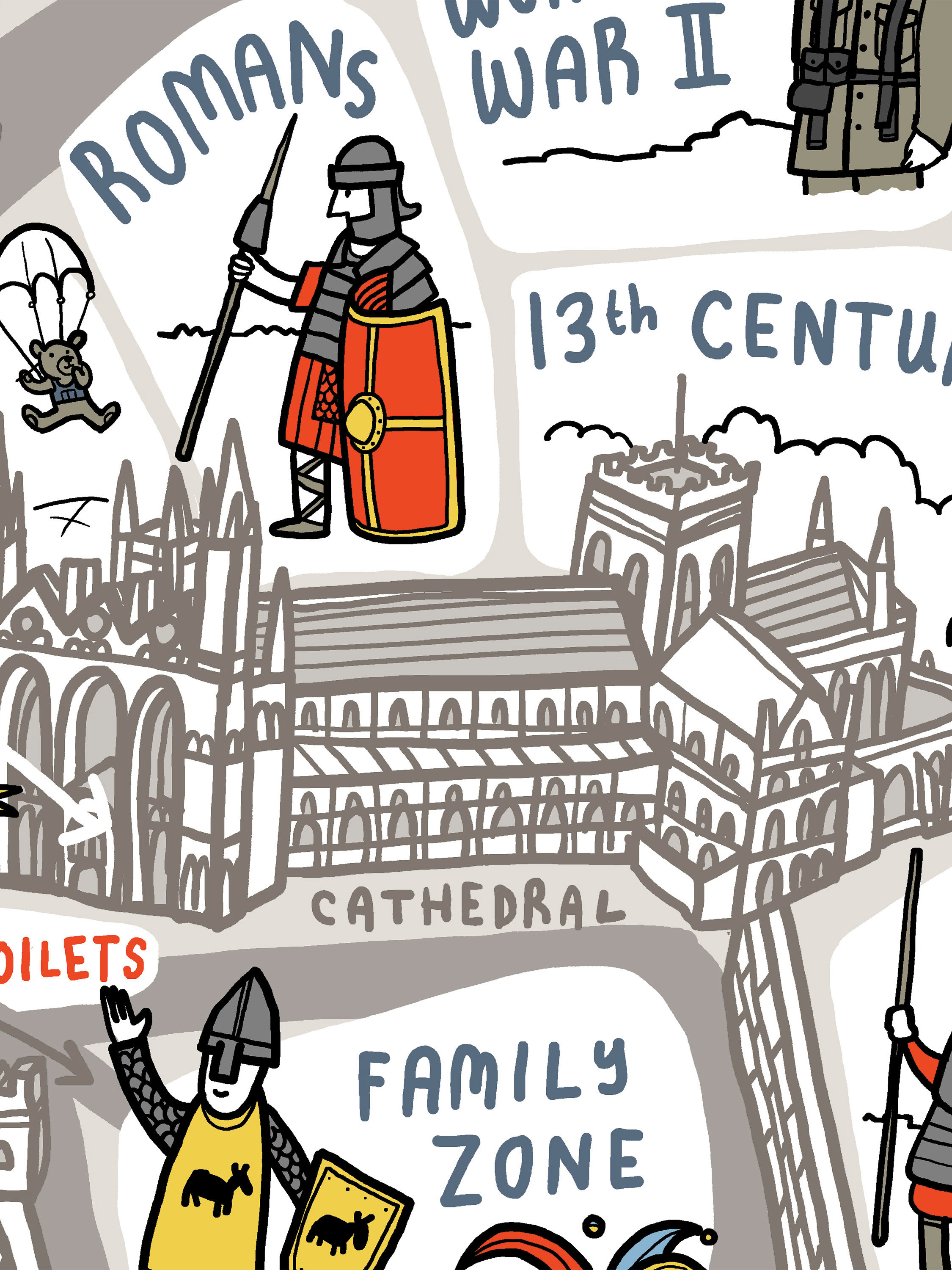
Peterborough Heritage Festival Map
An illustrated map to guide visitors around the Peterborough Heritage Festival and to show the variety of historical events on offer.
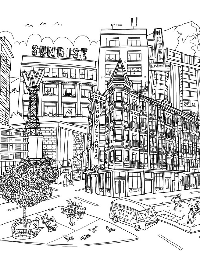
PHS Vancouver
An illustration for PHS Vancouver's new website, a not-for-profit shelter for those needing emergency shelter and social housing.
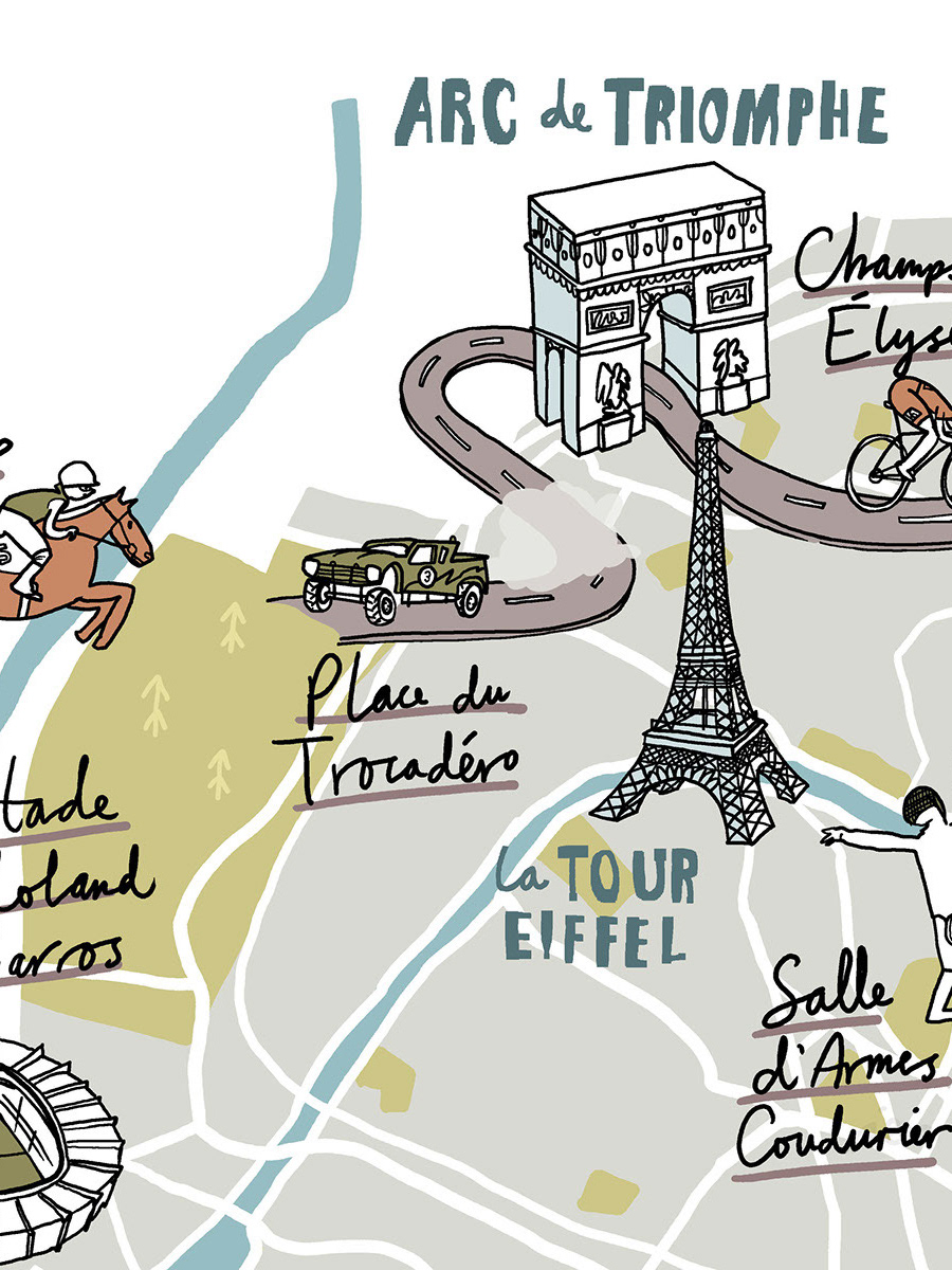
Populous Magazine Paris Map
Illustrative map of Paris for Populous magazine to show the sporting events in Paris and the surrounding area.
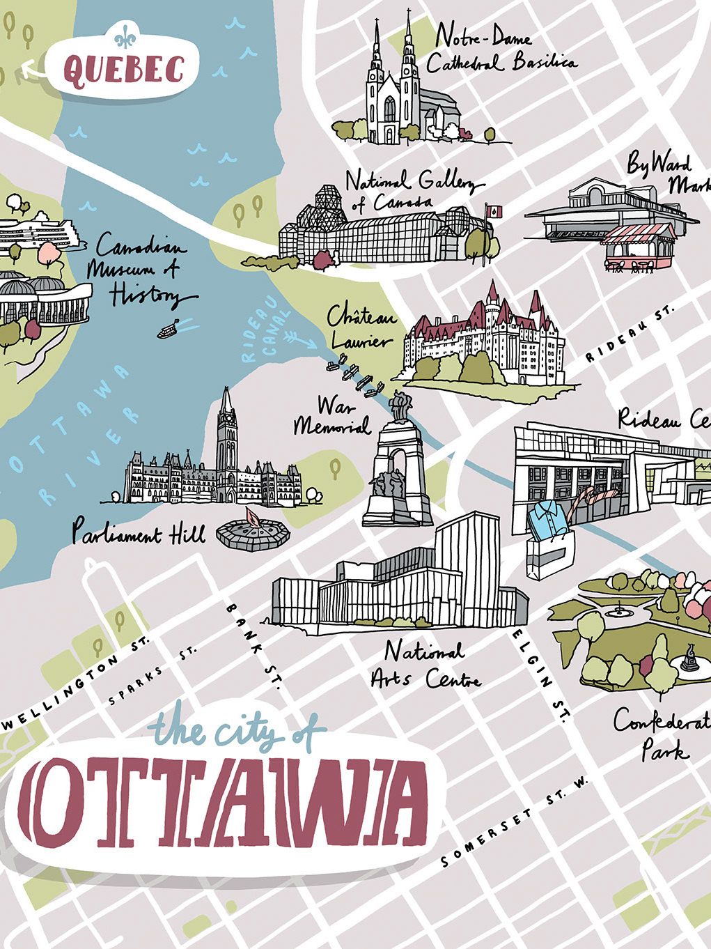
Harry Rosen Ottawa Map
An illustrative map of Ottawa for Harry magazine – a biannual publication by Harry Rosen, one of Canada’s leading menswear stores.

EF Schools China
A 4 metre by 3 metre illustrated wall mural and room numbers for a new set of EF worldwide schools initially opening in China.
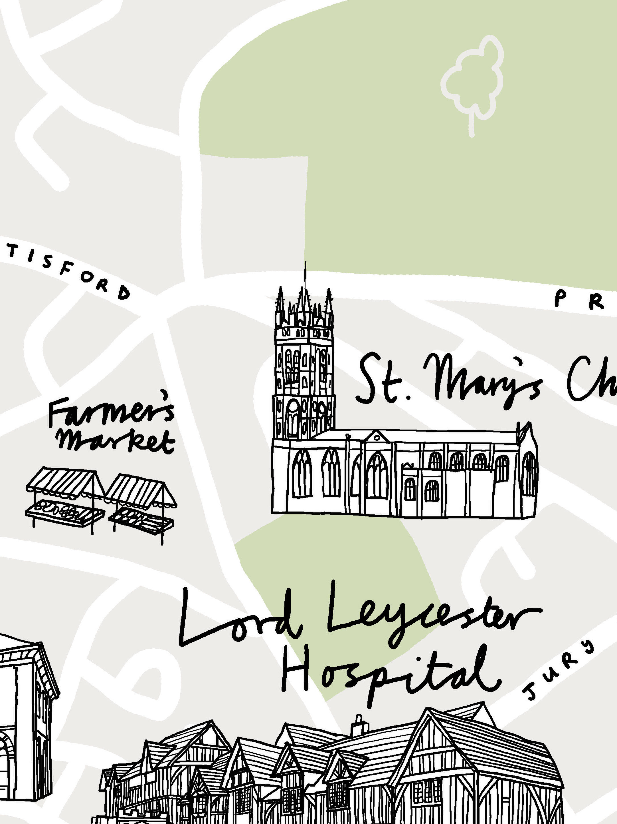
Warwick Map
A map of central Warwick for a housing developer. As well as illustrating the new development, the map also shows the landmarks, green spaces and and transport links of the town.
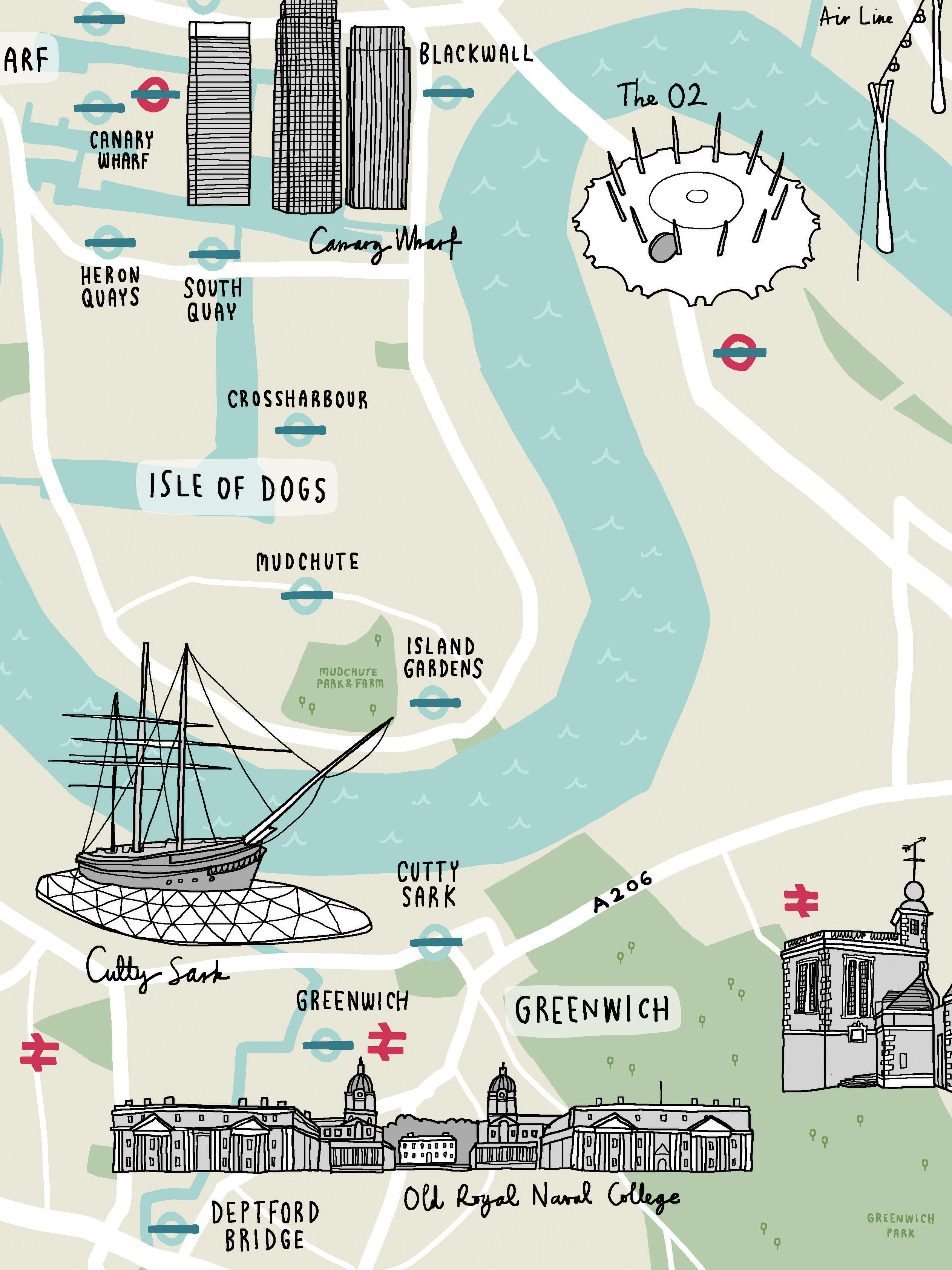
Royal Albert Wharf Map
An illustrated map for the Royal Albert Wharf housing development in the Royal Docks, London. The map is designed to show the proximity and main transport connections to central London, as well as some of the landmarks, parks and other attractions in the area.

Grassroots Map
The Grassroots Directory is an upcoming source book that will list some of the most innovative, practical and exciting community-led projects in the UK. To launch the project, the Grassroots team commissioned a map that would describe the idea for the directory by showing a fictional utopian town, stuffed with community projects.
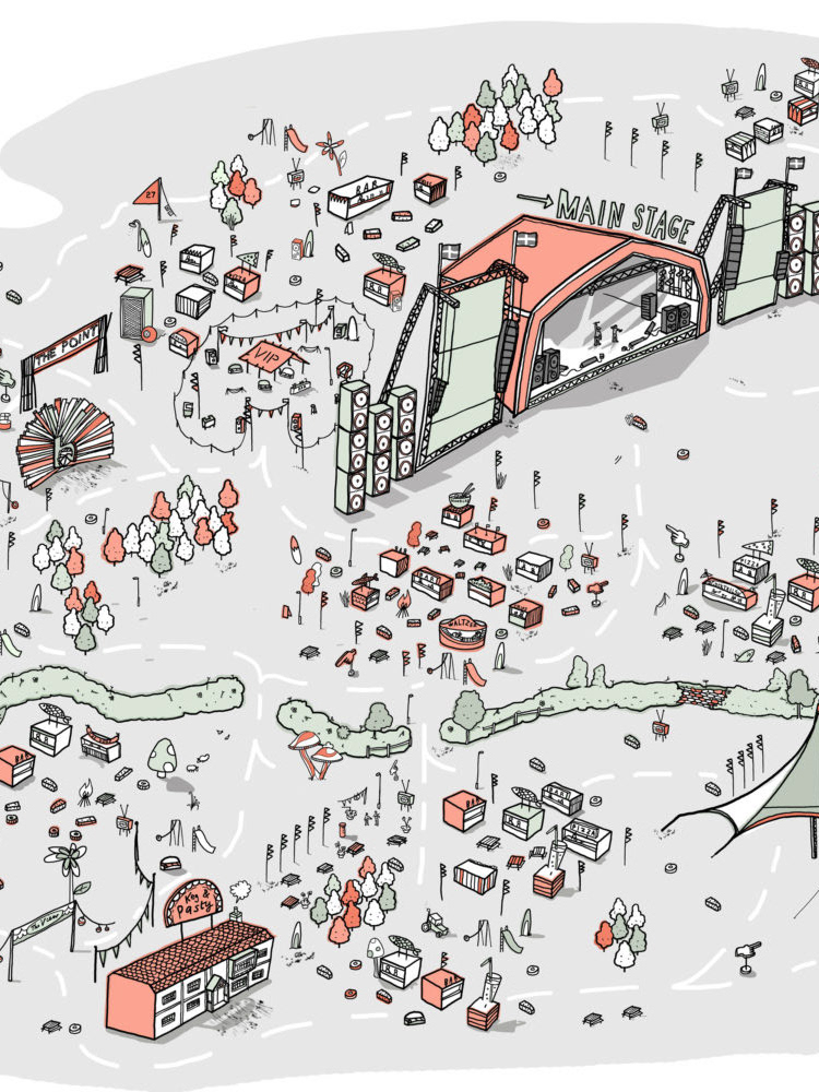
Boardmasters Festival Map
An illustrative map for the Boardmasters surf, skate and music festival centred on Fistral Beach and Watergate Bay, Cornwall.

Chipotle's Cultivating Thought
The Cultivating Thought project brings short two-minute stories to Chipotle’s customers on their takeaway bags and cups. I illustrated Barbara Kingsolver’s piece “Two Minute Cheer For The Home Team”, about community, links and happiness.
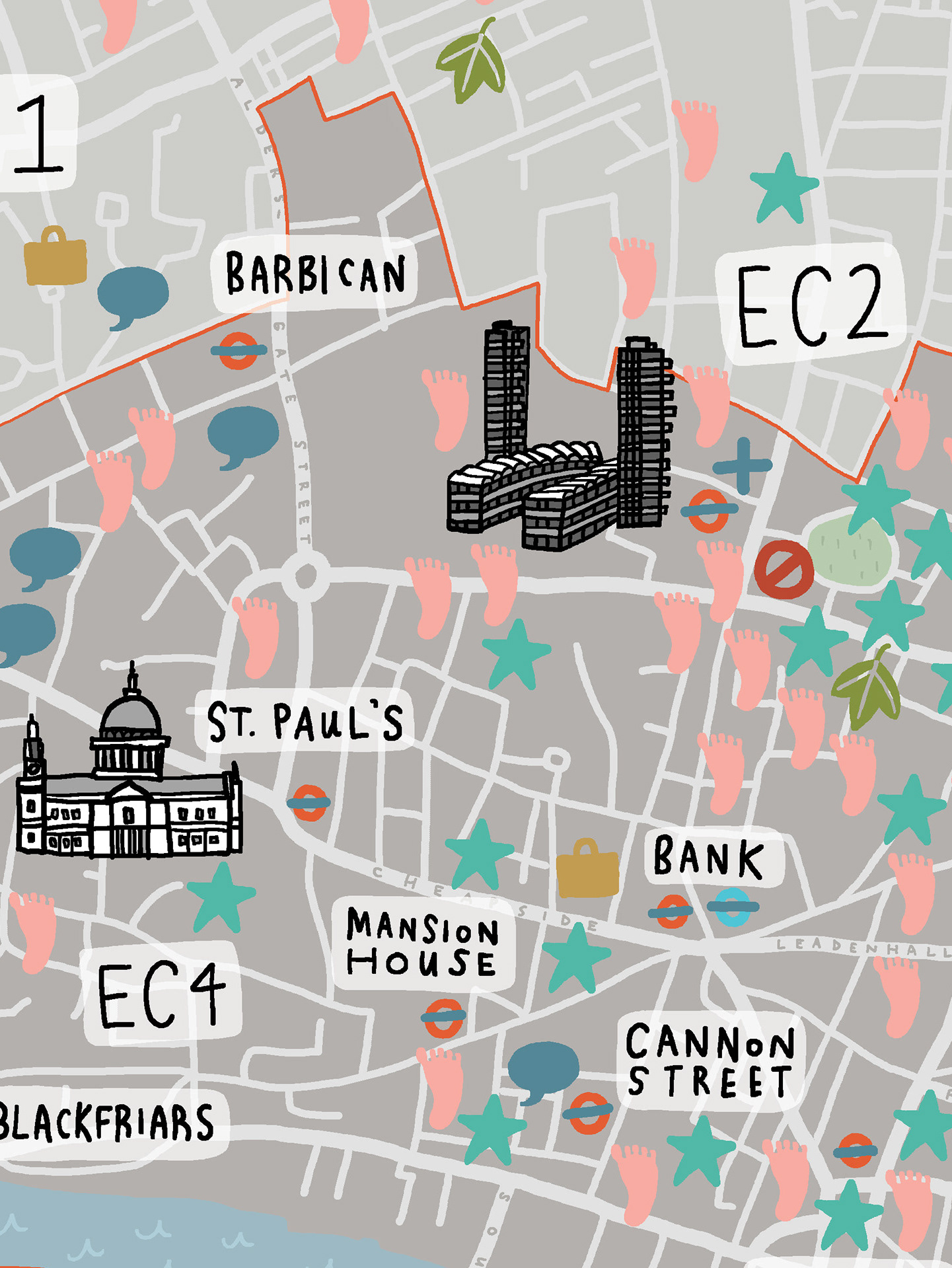
City Of London Healthcare Map
An illustrated map to show healthcare providers in and around the City of London and Square Mile.
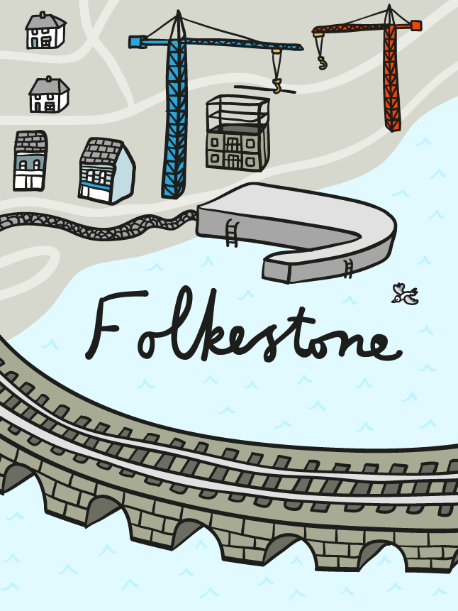
NHS South Kent Coast Animated Film
Set of illustrations for NHS South Kent Coast Clinical Commissioning Group to tell the story of the area and its challenges.
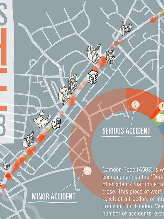
Camden Road Accident Infographic
An infographic to illustrate the number of road accidents that took place on Camden Road since 2010, showing that there are a disproportionate number of cyclists affected.
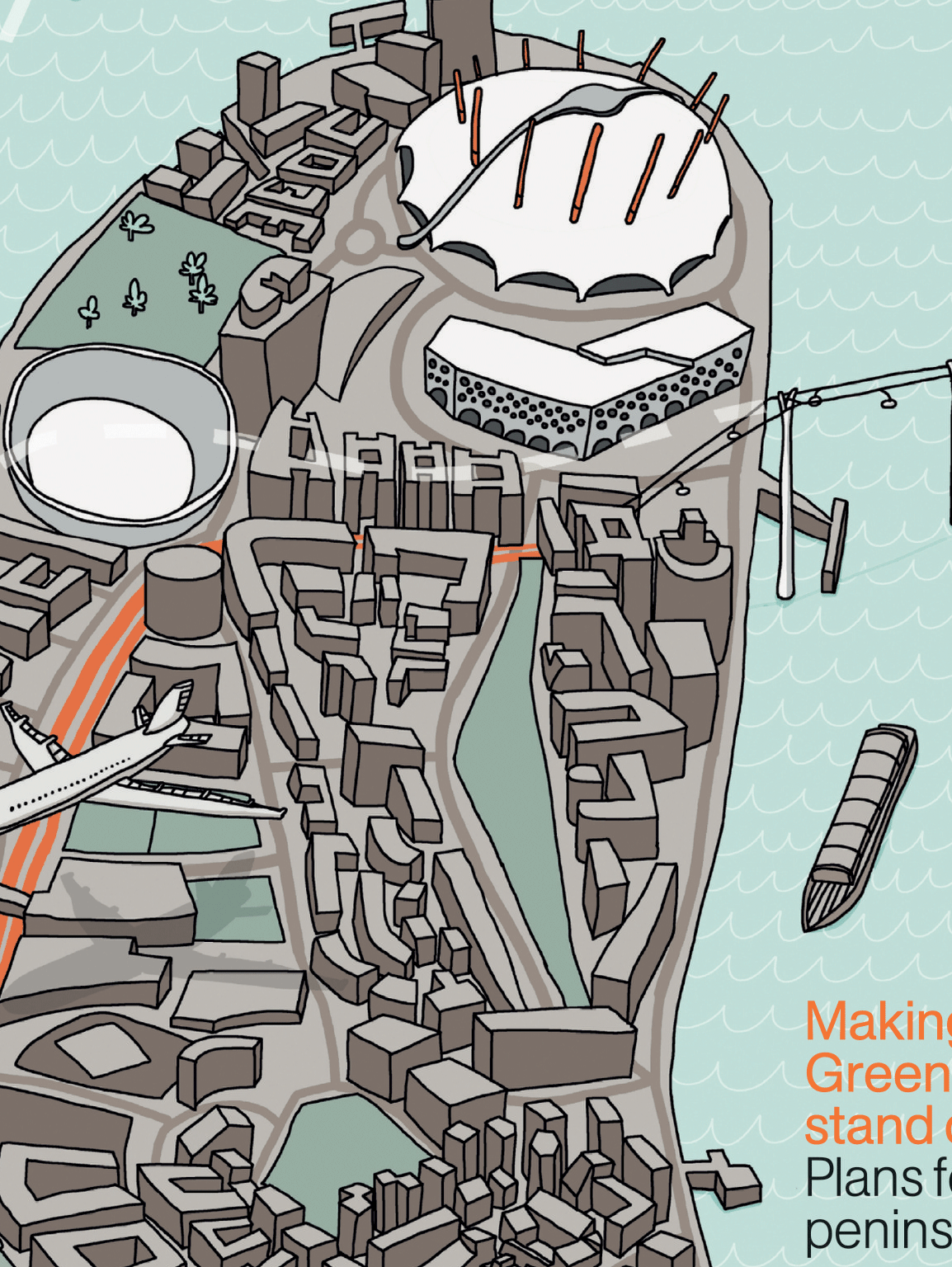
RIBA Journal
Cover for the July/August 2012 edition of the RIBA Journal.

